
Map design demonstration · Macao
Guia Hill Building Illustrations · Building illustrations
A freestanding building demonstration featuring a pavilion, the lower cable-car station, Guia Hill Nature Information Station and the Sun Yat Sen Memorial House.
Building illustrations · Traditional Chinese
Reviewed:
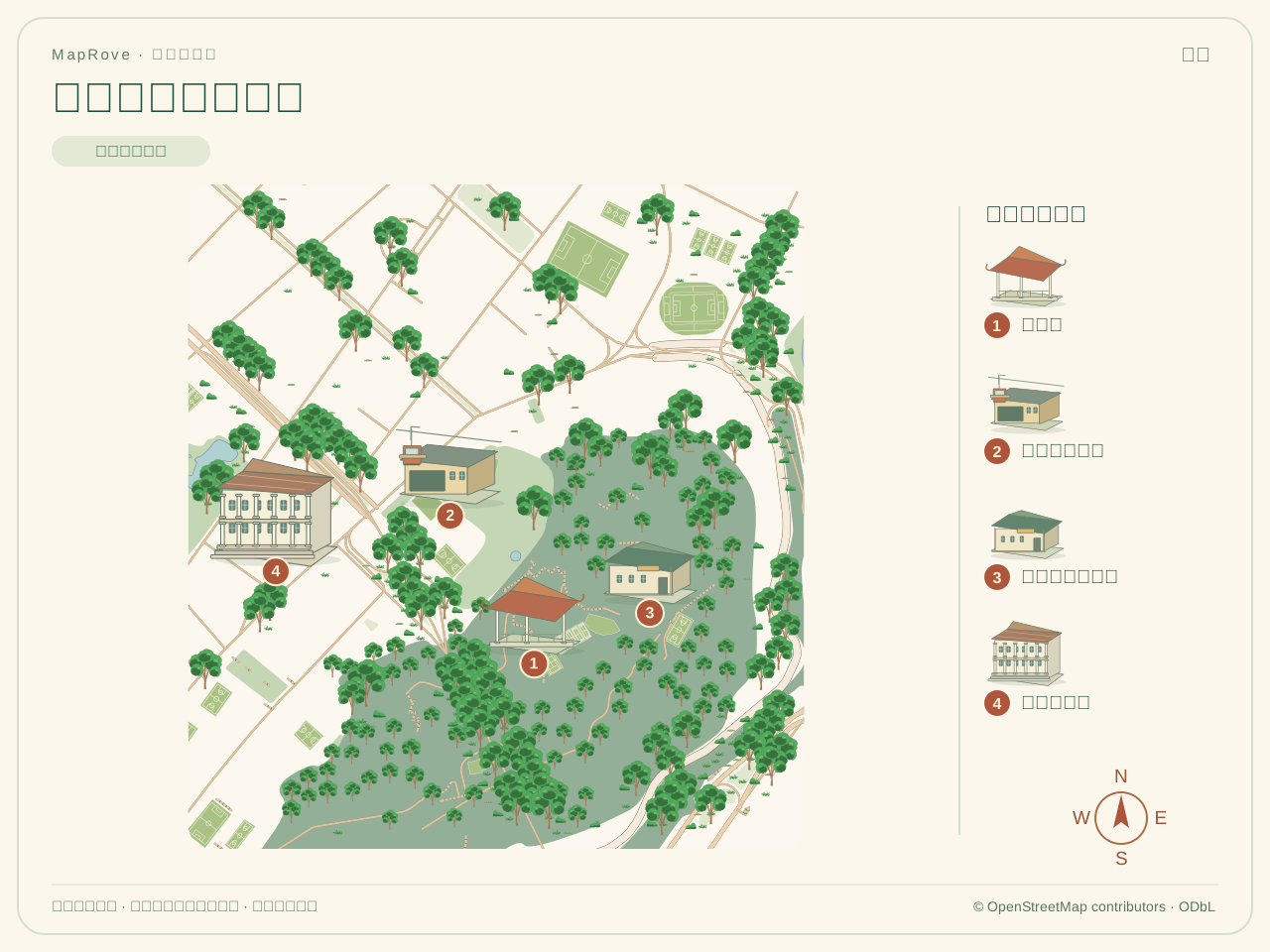
This is a map design demonstration, not a client project or an official visitor map. Building artwork is stylized and cannot be used to measure dimensions. Verify paths, names and access information before using a map for visitors.
What does this example show?
- Matching numbers connect building artwork to its legend names.
- Paths, greenery and freestanding buildings form distinct map layers.
How it was made & the artwork file
This demonstration was prepared offline using public OpenStreetMap geometry and the platform base-map renderer. Names and a numbered legend were arranged separately; the building-illustration edition uses original stylized vector artwork. It is a public design file, not a visitor board installed on site.
The full design file for this example is SVG; the page uses a WebP preview. Open the SVG to inspect the map and legend at a larger size, and check fonts and final dimensions before production.
The editor offers SVG, PNG and PDF exports under plan entitlements. This page links to the existing demonstration artwork. A preview image is not an editable project and does not automatically include every export format.
View plans & export entitlementsCreate a similar map
1. Select an area and review the base map
Create a map, search for a place and select an area. Review paths, water, bridges and entrances in the base map, adding missing content from verified site information. Initial map creation does not automatically run AI arrangement.
2. Choose building and label treatments
Choose building illustrations and add artwork for selected landmarks. Check ground anchors, neighboring paths and entrances; decorative artwork sizes do not establish building scale.
3. Save and inspect the export
Save the editable project and choose an export format available under the current plan. At the final display size, check names, orientation, legends, entrances and attribution before preparing print or online use.
Sources & scope
The visitor information below can help verify names and access. It does not imply endorsement or a commission from the attraction. The geographic base uses OpenStreetMap data; preserve the map attribution.