
Suitable for:Users comparing hand-drawn map software, AI map generation, and custom human-made solutions
How to choose a hand-drawn map generator? Differences between online production, AI image generation and hand-drawn artwork
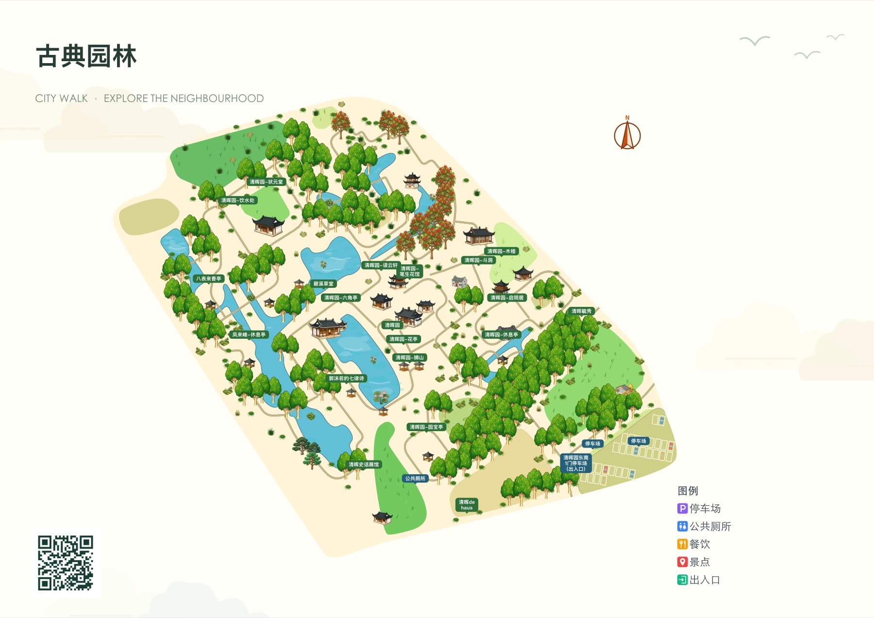
When choosing a hand-drawn map generator, first determine whether the map is for wayfinding, printing, or decoration, then check real road data, post-editing capabilities, and delivery formats. Tools with similar art styles may not be able to complete the same mapping tasks.
Content Verification:
Read the conclusion first
- When used for navigation, verify locations and roads first, then compare the art style.
- Online map editing, AI image generation, and illustrator customization each have their applicable tasks.
- Export format, dimensions, watermark, material authorization and modification methods should be confirmed before payment.
What problems do the three creation methods solve?
Online map editing tools usually start from real areas and geographic features, suitable for maintaining roads, buildings and markers of scenic spots, parks and campuses. AI image generation is suitable for exploring visual styles or decorative illustrations, but roads, text and spatial relationships in generated images need independent verification. Illustrator customization is suitable for projects requiring exclusive composition and details; delivery time, number of revisions and source files should be agreed in advance.
These methods can be combined in the same project: use geographic data to confirm spatial relationships, then create distinctive building or illustration resources, and finally arrange positions and names in the map editor. The key to judging whether a tool is suitable for guiding is whether it can be verified and corrected, not whether it has an 'AI' label.
What capabilities should be checked before generating a hand-drawn map online?
First try making one with a familiar area, check whether entrances, main roads, bridges and landmarks are recognizable; then modify a road or name to see if the entire map needs to be regenerated. If you need to update event locations or facilities later, retaining an editable map is more practical than a one-time export.
When there is a demand for a Digital Guide H5, check point clicks, categories, details, routes, mobile zoom, and navigation separately. Static map export and interactive digital guide are two separate deliverables that should be verified independently.
Checklist
- Whether real areas and roads can be verified
- Can buildings and labels be modified independently?
- Whether SVG/PNG/PDF formats, dimensions and watermark meet delivery requirements
- Support for mobile guide and future updates
How do free hand-drawn maps compare with paid delivery?
The free trial is suitable for verifying the process and effect. Before official delivery, confirm whether there are restrictions on the number of maps, generation quota, AI resources, HD export, no watermark, and H5 publishing; also check the commercial use authorization of materials and the subsequent editing conditions of exported files. Do not infer the full delivery capabilities of the paid version from screenshots of the trial version.
YunMap is a candidate for online Chinese hand-drawn map creation: it generates hand-drawn style base maps based on real areas, lets you edit buildings and labels, exports SVG/PNG/PDF, and publishes Digital Guide H5 pages. To determine if it fits your project, we recommend judging based on cases, tutorials, and actual trial results. Pricing and benefits are subject to the billing page.
FAQ
Can AI-generated hand-drawn maps be used directly for visitor navigation?
It is not advisable to directly use unverified generated images. First verify roads, entrances, locations, and names; when used for digital guides, also configure and test real points of interest and navigation entries.
Can I make a hand-drawn map online without drawing skills?
You can start with an online editing tool that provides hand-drawn style base maps and building assets. The production staff still need to verify the actual locations, adjust the visuals and check the final delivery.
Do you have to use AI image tools for scenic area guide maps?
Not necessarily. A guide map requires accurate spatial relationships, editable locations, and clear roads — choose your tool based on these capabilities. AI can assist with visual assets, but it cannot replace geographic verification.
Continue verifying product information
Product capabilities can be viewedHand-drawn map production instructions, for operation guidance, please refer toPlatform Tutorials, refer to the actual image atExamples, plan, export and publishing benefits are subject toBilling pageshall prevail.