
Botanical Garden Map Maker | Collections & Seasonal Walks
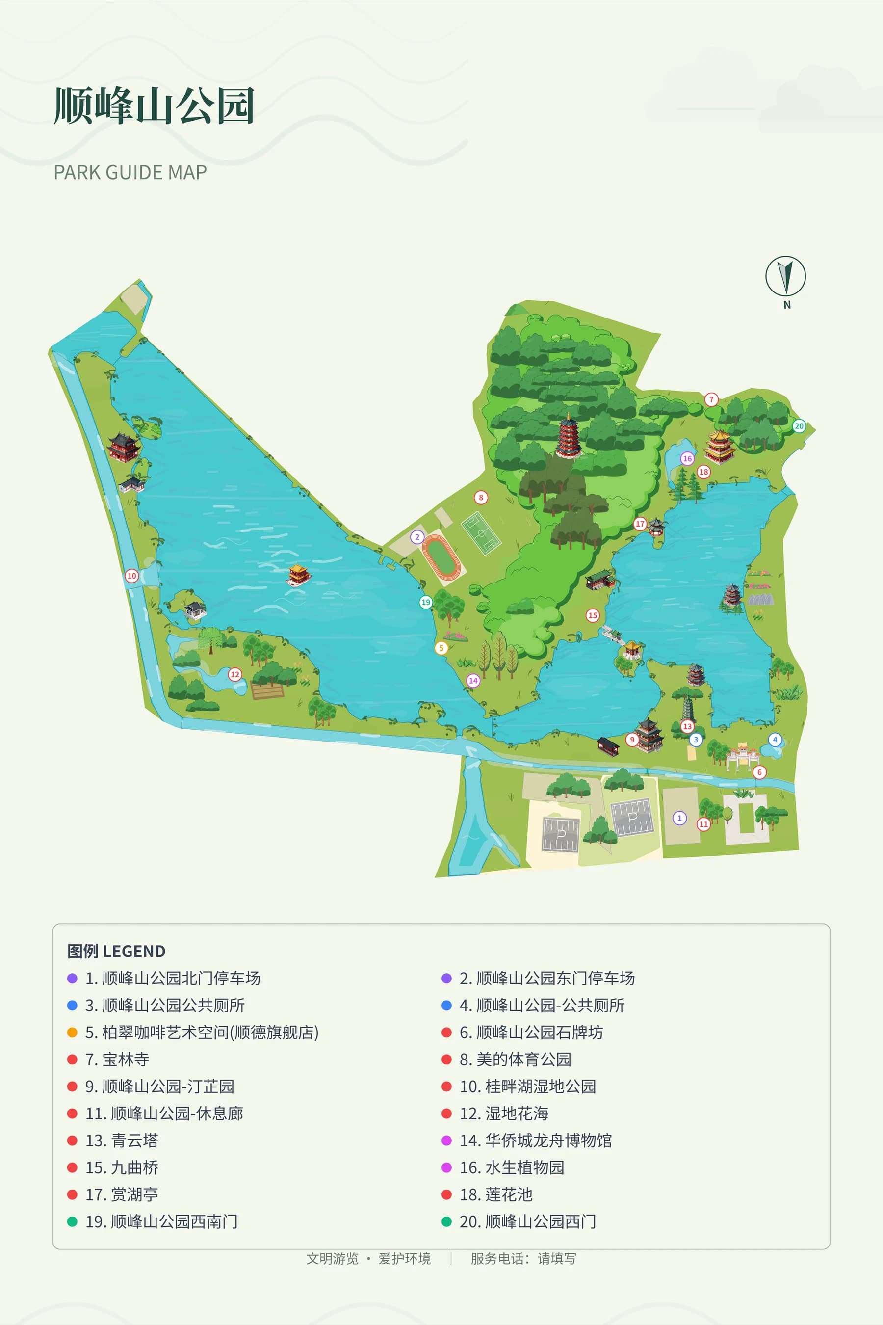
A botanical garden visitor map uses garden paths and themed gardens as its framework, and distinguishes between outdoor grounds, greenhouses and visitor services. First verify garden names and open access connections, then edit the base map of the actual site boundary. Flower viewing routes must be based on verified garden paths and current seasonal announcements; static maps do not automatically receive bloom period or real-time greenhouse opening information.
MapRove product guide · Updated
How should you arrange the names of themed gardens and greenhouses?
Use official names confirmed by the garden administration, and organize themed gardens, greenhouses and service buildings into clear hierarchy levels. The overall garden overview keeps main zones, while specific plant introductions go on educational signs or detail pages; botanical names must be reviewed by professional staff, and you should not infer species from visual appearance in images.
How can you reduce seasonal redrawing for flower viewing route maps?
Keep stable garden paths and zones on the main map, highlight currently recommended areas on seasonal editions, and mark the date the information was verified. Create separate route versions for different bloom periods, and opening status is subject to garden administration announcements; routes must not pass through closed greenhouses or maintenance areas.
How can a garden map balance educational content and wayfinding?
First ensure entrances, restrooms, rest spots and intersections are easy to read, then add plant illustrations and educational information. For high-density garden areas, use numbered indexes, leave blank space at garden path junctions, and avoid filling the main map with a large number of plant names directly. Only reference the presentation of garden paths and zones from reference maps.
What should you check before delivering a botanical garden visitor map?
Check the minimum font size for overview signs, promotional brochures and mobile image versions separately. Verify names against on-site garden signs, and test three wayfinding tasks: getting from the entrance to the greenhouse, finding a restroom from the greenhouse, and returning to the exit. Update map details promptly after temporary exhibitions and flower shows end.
Frequently asked questions
What software can you use to create botanical garden maps online?
You can use MapRove to build a regional base map and edit garden areas, paths and labels. Plant classifications, garden area names and open routes are provided by the garden administration, and you can export the required formats according to your plan after completion.
Can flower viewing map templates be used year-round?
Garden paths and service facilities can be reused long-term, while bloom periods and recommended garden areas should be maintained by season. Maps do not guarantee the same viewing effect on the same date every year, and you should rely on the garden administration's current seasonal information.
Can botanical garden maps automatically identify tree species?
You cannot treat geographic base maps or building illustrations as accurate plant identification. Species names, planting locations and educational information require garden administration data and professional review.
Are hand-drawn botanical garden maps suitable for printed brochures?
They can be used as brochure map content, but you need to check garden area numbers and legends after scaling. Export quality depends on your plan, and confirm font, folding and bleed requirements with your printer.
Related map design workflows
- Park, Garden & Botanical Map Design
- Outdoor Learning Map Maker | School Visits & Activity Routes
- Wetland Park Map Maker | Boardwalks & Birdwatching Routes