
Cycling Route Map Maker | Rural Rides & Greenway Guides
A village cycling route map needs to distinguish between greenways open to cyclists, regular roads and sections where riders must dismount and walk. First confirm the route and return arrangements, then edit segments, rest stops and intersection labels on a real base map. Map schematics do not represent real-time road conditions; traffic rules, closures and vehicle eligibility are subject to on-site and management information.
MapRove product guide · Updated
How do you verify connectivity before creating a cycling route?
Check bridges, tunnels, village entrances and greenway junctions to confirm whether bicycles are allowed. Riverside paths and scenic area roads may have different management requirements; two sections that appear to be connected must be confirmed via on-site inspection or management authority materials, and walking connections cannot be directly used in place of cycling routes.
How do you arrange segments for a village cycling tour map?
Use villages, bridges or rest stops as segment nodes, and assign clear numbers to each segment. Label supply stops and available exit points, and explain the return method for routes with different start and end points. Use reliable track data or management materials for distances; do not estimate elevation gain and travel time based on the visual appearance of the map.
What intersection information should be kept in a cycling map template?
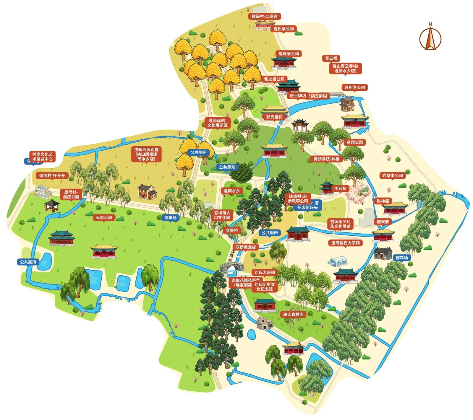
Intersection diagrams prioritize showing turns, official place names and on-site recognizable landmarks, and reduce decorative elements on long straight sections. You may draw on landmark representation from ancient village reference maps, but cycling routes must use roads that are actually open to traffic; intersection arrows must remain legible after the image is shrunk for mobile viewing.
How do you deliver an event route map to participants?
Provide a full-route overview and key intersection instructions, and retain the version date, meeting point and service arrangements confirmed by the event organizer. Update road closure and traffic changes before the event. Static images are to be used with suitable positioning and navigation tools, and are not the sole basis for cycling.
Frequently asked questions
Can you draw a cycling route map online?
You can create a regional base map in MapRove, edit routes, segments and supply stop labels, then export schematic diagrams according to your plan. First verify whether the road is open to cyclists; actual navigation and dynamic road conditions must be confirmed separately.
Do cycling tour map templates support automatic mileage generation?
Do not treat map schematics as a reliable source of mileage. Mileage, elevation gain and segment travel time should be sourced from verified track data or management materials, then filled into the map.
Do village cycling maps need to label supply stations?
It is recommended to label confirmed service points and exit nodes, and indicate whether supplies are from fixed facilities or temporary event services. Operating hours, water availability and event arrangements should be re-verified before departure.
How do you make cycling route images suitable for viewing on mobile phones?
Reduce long text on the full-route map, create separate close-up diagrams for complex intersections, and retain numbering and direction. Check the display effect after compression by chat apps, and make sure intersection instructions correspond to the overview numbering.
Related map design workflows
- Waterfront Trail Map Maker | Riverwalks & Lakeside Paths
- Old Town & Village Map Maker | Rural Visitor Map Design
- Hiking Route Map Maker | Trail Guides & Forest Park Maps